 © 2008 David C. Pearson, M.D.

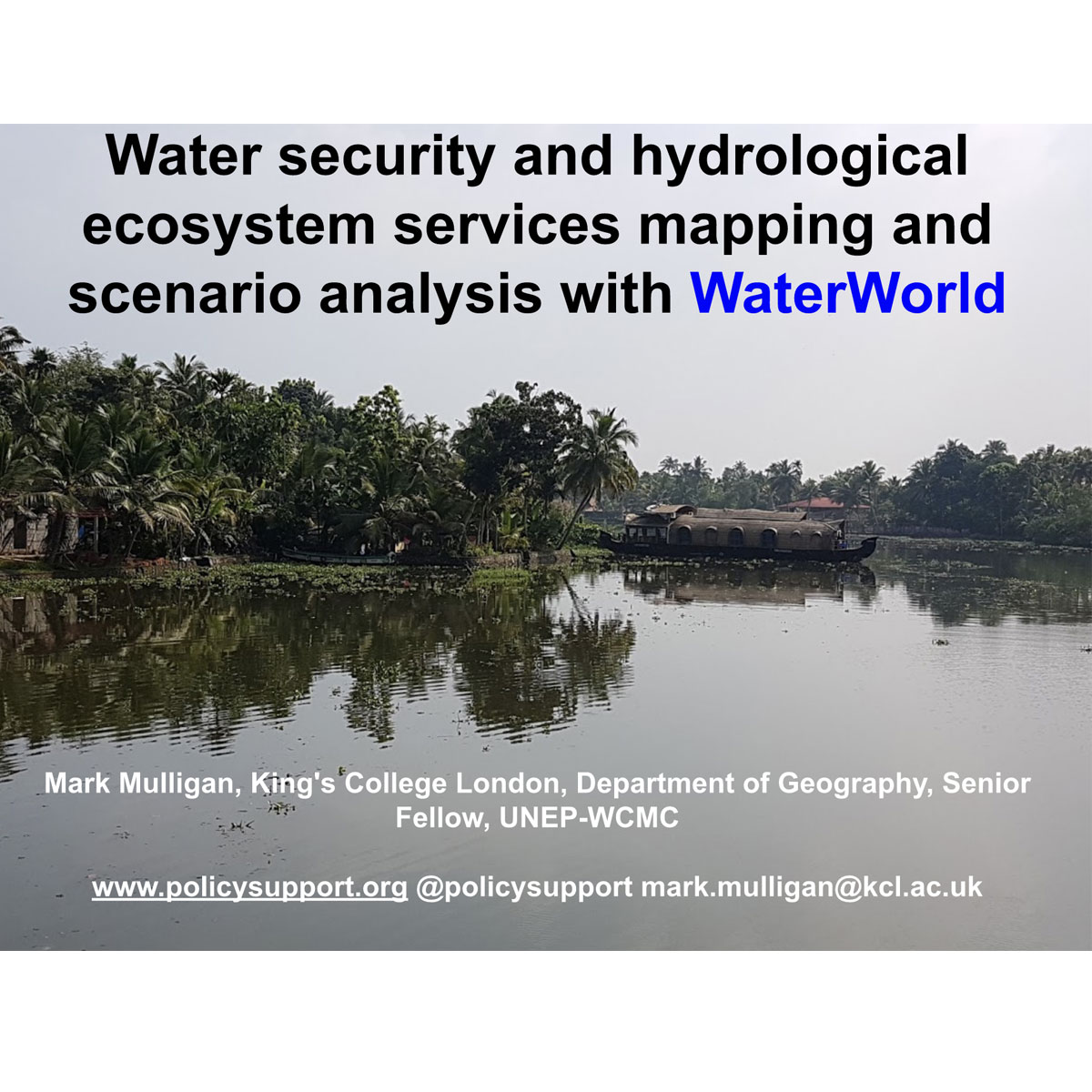
Spatial policy support system for examining hydrological baseline and impacts of scenaris for climate, land use change and soil and water management interventions, including conservation, at scales from local (1ha resolution) to national (1km resolution). Focuses on water qunatity, quality and regulation with full water balance including snow and ...
DOI: 10.1002/hyp.7974
Last Update: 2017
Data analysis Ecosystem function Ecosystem services
Login to add the tool into your favorites.
Spatial policy support system for examining hydrological baseline and impacts of scenaris for climate, land use change and soil and water management interventions, including conservation, at scales from local (1ha resolution) to national (1km resolution). Focuses on water qunatity, quality and regulation with full water balance including snow and ice, fog, wind driven rain, evapotranspiration, infiltration and runoff. Applicable globally with supplied datasets but user can upload their own, if desired. Provides a hydrological baseline as statistics and maps and analyses impacts of scenarios and interventions. Used to better understand impact of nature of water provision.
| Contact person: | Mark Mulligan |
|---|---|
| Contact e-mail: | mark.mulligan@kcl.ac.uk |
| Contact Organization: | King’s College London |
| License: | Free for non-commercial use |
| Technical Status: | Finish and with constant technical support |
| URL(s): |
http://www.policysupport.org/waterworld
http://www.policysupport.org/waterworld/example-applications http://www.policysupport.org/waterworld/training |
Login to add a review for the tool WaterWorld
TOOLS YOU MAY ALSO LIKE


