Occurrence of fire in vegetation is the theme of this portal, developed at INPE, National Institute for Spatial Research. It includes the operational monitoring of forest fires and forest fires detected by satellites, and the calculation and prediction of vegetation fire risk. Data for South and Central America, Africa and Europe, are updated every ...
Last Update: 2019
Data reporting Ecosystem structure Terrestrial
Login to add the tool into your favorites.
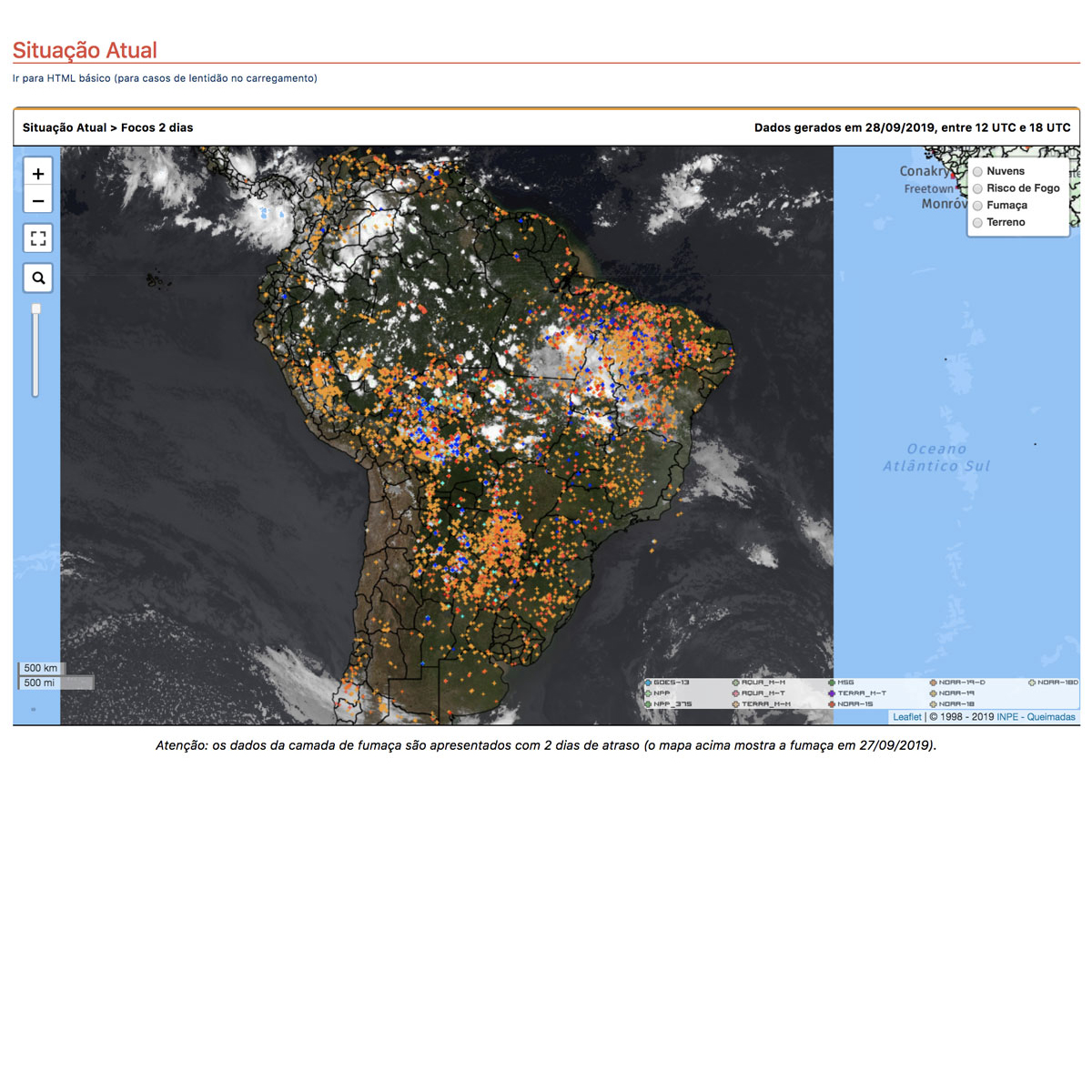
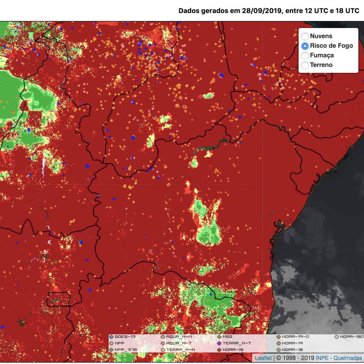
Occurrence of fire in vegetation is the theme of this portal, developed at INPE, National Institute for Spatial Research. It includes the operational monitoring of forest fires and forest fires detected by satellites, and the calculation and prediction of vegetation fire risk. Data for South and Central America, Africa and Europe, are updated every three hours, every day of the year. Access to information is free, and in the internet browser used, the loading of pop-up windows must be unlocked for access to various figures, tables and graphs.
| Contact person: | Alberto Setzer |
|---|---|
| Contact e-mail: | alberto.setzer@cptec.inpe.br |
| Contact Organization: | National Institute for Spatial Research (INPE) |
| URL(s): | http://www.inpe.br/queimadas/situacao-atual |
Login to add a review for the tool Fire monitoring
TOOLS YOU MAY ALSO LIKE


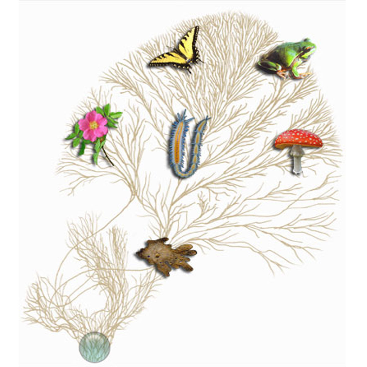 © 2007 Tree of Life Web Project. Image of rose © 1999 Nick Kurzenko. Image of annelid worm © 2001 Greg W. Rouse