The BIO_SOS project focuses on developing a robust system for habitat mapping and monitoring, named EODHaM, with this based on prior generation of land cover/use (LC/LU) and change map maps and their subsequent translation to categories of habitat appropriate to support conservation agencies and land managers in decisions relating to protection of ...
DOI: 10.1016/j.jag.2014.10.011
Last Update: 2015
Data analysis Data collection Ecosystem structure Species populations Terrestrial Freshwater
Login to add the tool into your favorites.
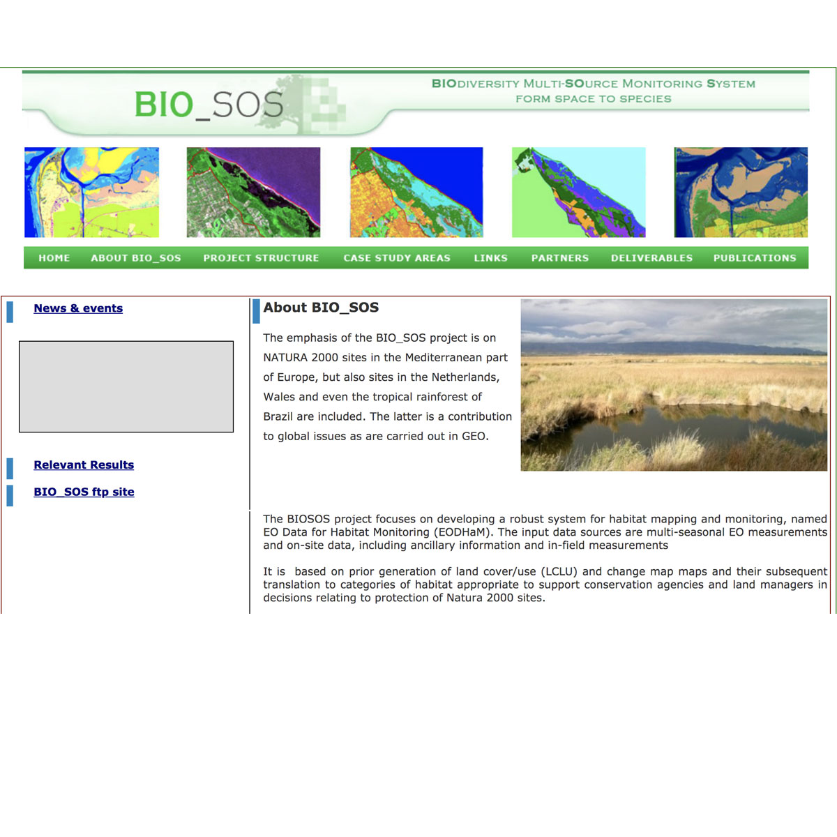
The BIO_SOS project focuses on developing a robust system for habitat mapping and monitoring, named EODHaM, with this based on prior generation of land cover/use (LC/LU) and change map maps and their subsequent translation to categories of habitat appropriate to support conservation agencies and land managers in decisions relating to protection of NATURA 2000 sites. The input data sources are multi-seasonal EO measurements and on-site data, including ancillary information and in-field measurements. For this purpose, the Food and Agricultural Organisation (FAO) Land Cover Classification Scheme (LCCS) and the General Habitat Categories (GHCs), from which Annex I Habitats can be defined, have been proposed for describing LC/LU and habitat categories. Key criteria in the design of the system included a) ease of use by end users, b) use with a defined range of satellite and, in some cases, airborne (e.g., LiDAR) data and c) low reliance on existing datasets (e.g., LC/LU maps, cadastral (if updated) and infrastructure layers). The system can ingest data from any sensor and be applied at any scale to any site globally.
| Contact person: | Palma Blonda |
|---|---|
| Contact e-mail: | blonda@ba.issia.cnr.it |
| Contact Organization: | CNR-ISSIA |
| URL(s): | http://www.biosos.eu/about.htm |
Login to add a review for the tool EO Data for Habitat Monitoring (EODHaM)
TOOLS YOU MAY ALSO LIKE