
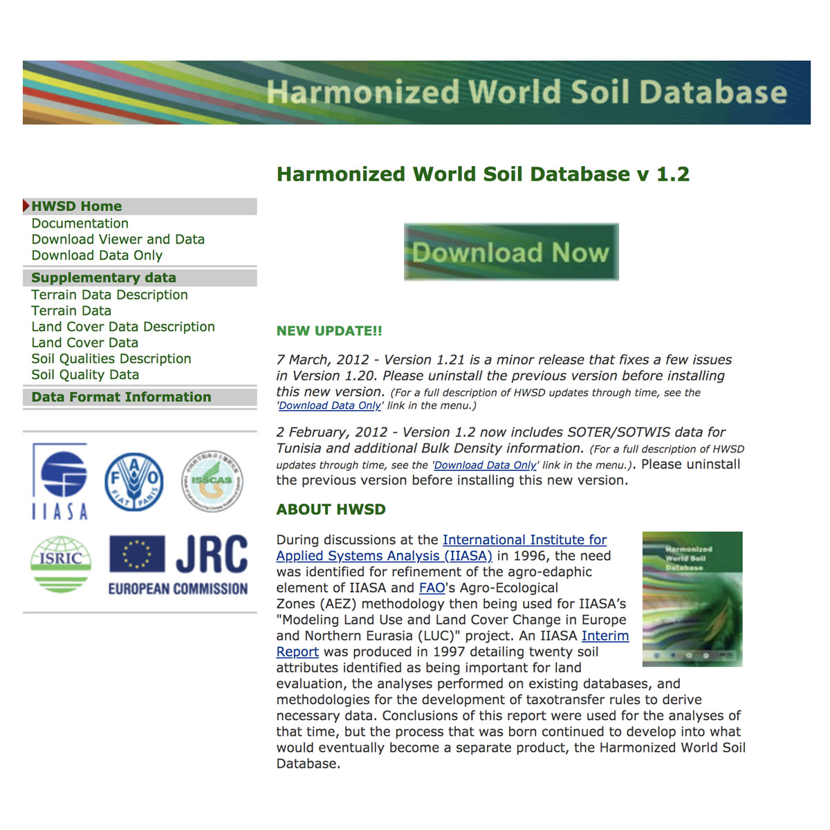
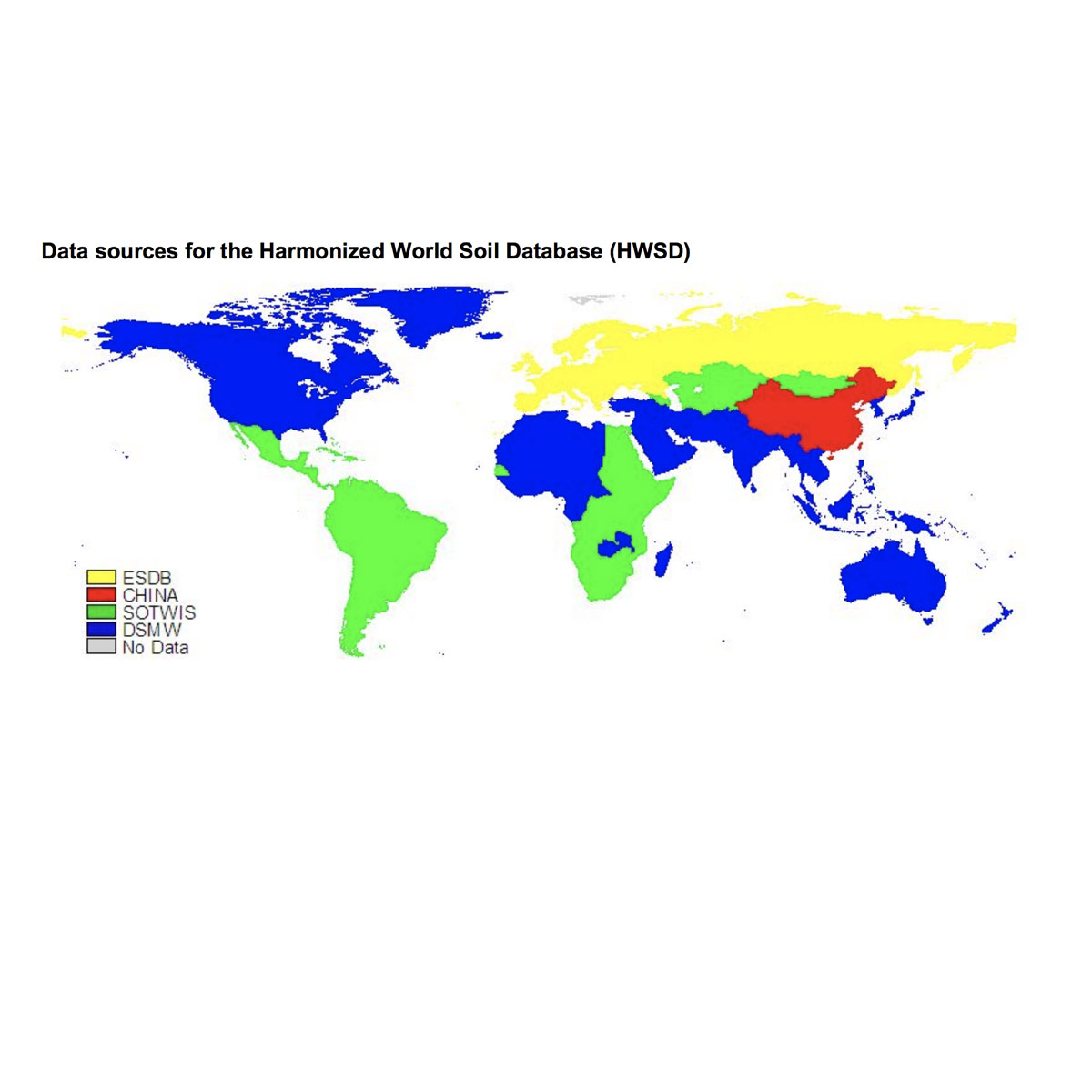
The Harmonized World Soil Database is a 30 arc-second raster database with over 15 000 different soil mapping units that combines existing regional and national updates of soil information worldwide (SOTER, ESD, Soil Map of China, WISE) with the information contained within the 1:5 000 000 scale FAO-UNESCO Soil Map of the World (FAO, 1971-1981). Th ...
Last Update: 2013
Data reporting Ecosystem structure Terrestrial
Login to add the tool into your favorites.
The Harmonized World Soil Database is a 30 arc-second raster database with over 15 000 different soil mapping units that combines existing regional and national updates of soil information worldwide (SOTER, ESD, Soil Map of China, WISE) with the information contained within the 1:5 000 000 scale FAO-UNESCO Soil Map of the World (FAO, 1971-1981). The resulting raster database consists of 21600 rows and 43200 columns, which are linked to harmonized soil property data. The use of a standardized structure allows for the linkage of the attribute data with the raster map to display or query the composition in terms of soil units and the characterization of selected soil parameters (organic Carbon, pH, water storage capacity, soil depth, cation exchange capacity of the soil and the clay fraction, total exchangeable nutrients, lime and gypsum contents, sodium exchange percentage, salinity, textural class and granulometry).
Monitoring program(s) or initiative(s) using the tool:
This database was established in July 2008 by IIASA and FAO in partnership with: ISRIC-World Soil Information which, together with the FAO, contributed recent regional soil and terrain databases together with the WISE soil profile database; The European Soil Bureau Network, which provided its major new update of soil information for Europe and northern Eurasia; and The Institute of Soil Science, Chinese Academy of Sciences, which made available its most recent 1:1,000,000 scale Soil Map of China. The data entry and harmonization within a GIS was carried out at IIASA; verification of the database was undertaken by all partners.
| Contact person: | Harrij van Velthuizen |
|---|---|
| Contact e-mail: | velt@iiasa.ac.at |
| Contact Organization: | IIASA |
| URL(s): |
http://webarchive.iiasa.ac.at/Research/LUC/External-World-soil-database/HTML/index.html?sb=1
http://www.fao.org/soils-portal/soil-survey/soil-maps-and-databases/harmonized-world-soil-database-v12/en http://www.fao.org/fileadmin/templates/nr/documents/HWSD/HWSD_Documentation.pdf |
Login to add a review for the tool Harmonized World Soil Database
TOOLS YOU MAY ALSO LIKE


 © Google