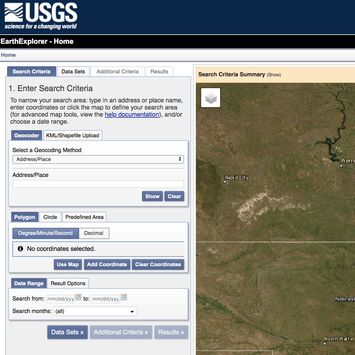
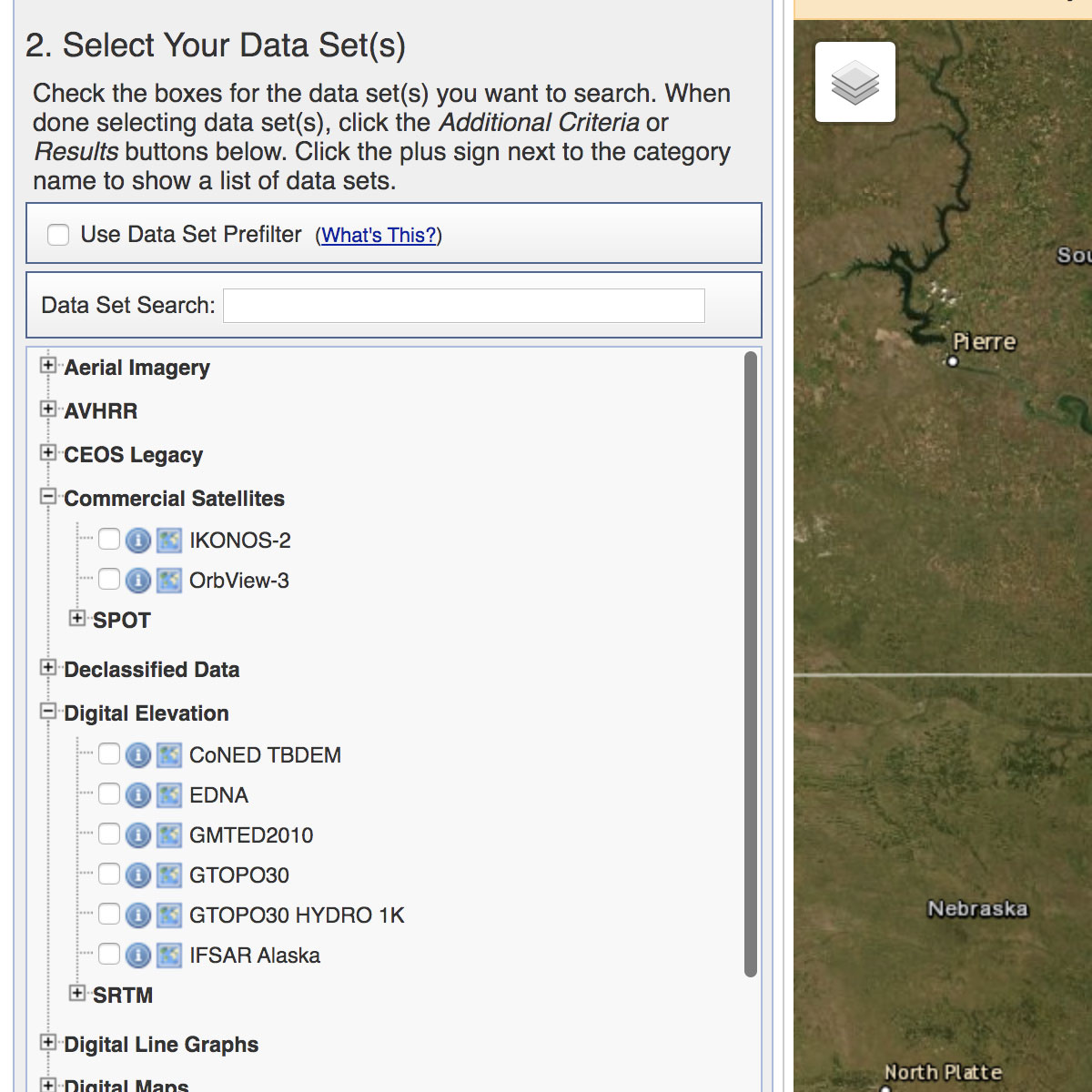
EarthExplorer (EE) provides online search, browse display, metadata export, and data download for earth science data from the archives of the U.S. Geological Survey (USGS). EE provides an enhanced user interface using state-of-the art JavaScript libraries, Hypertext Preprocessor (PHP), and the advanced Oracle spatial engine. EarthExplorer (EE) is a ...
Last Update: 2016
Data reporting Ecosystem structure Terrestrial
Login to add the tool into your favorites.
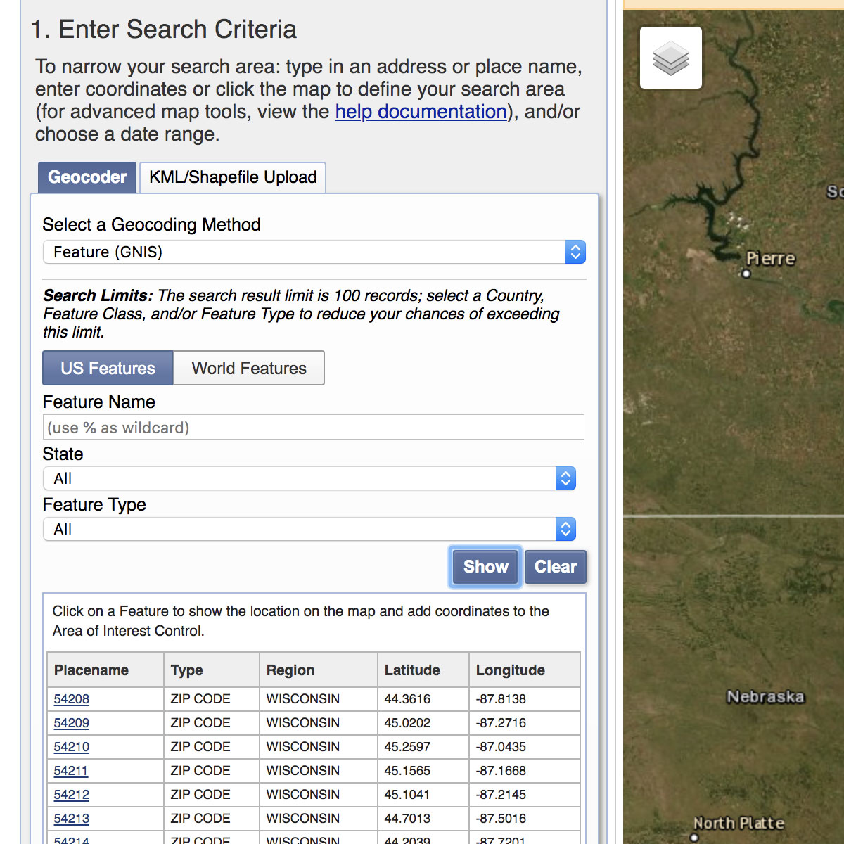
EarthExplorer (EE) provides online search, browse display, metadata export, and data download for earth science data from the archives of the U.S. Geological Survey (USGS). EE provides an enhanced user interface using state-of-the art JavaScript libraries, Hypertext Preprocessor (PHP), and the advanced Oracle spatial engine. EarthExplorer (EE) is a client/server interface that provides access to the U.S. Geological Survey (USGS) Earth Resources Observation and Science (EROS) Center archive. The EROS archive is a comprehensive collection of land remote-sensing data that spans more than 70 years for national coverage and more than 50 years for the world. Current EE data collections include aerial photography, satellite imagery, elevation data, land cover products, and digitized maps as well as remotely-sensed data for a variety of USGS projects and partners. More than 180 data collections are accessible through EE. On-going data acquisitions and the inclusion of new data sets to support the geo-science community and general public allow EE to remain current.
| Contact person: | USGS |
|---|---|
| Contact e-mail: | custserv@usgs.gov |
| Contact Organization: | USGS, Geosciences and Environmental Change Science Center |
| URL(s): | https://earthexplorer.usgs.gov |
Login to add a review for the tool EarthExplorer
TOOLS YOU MAY ALSO LIKE
