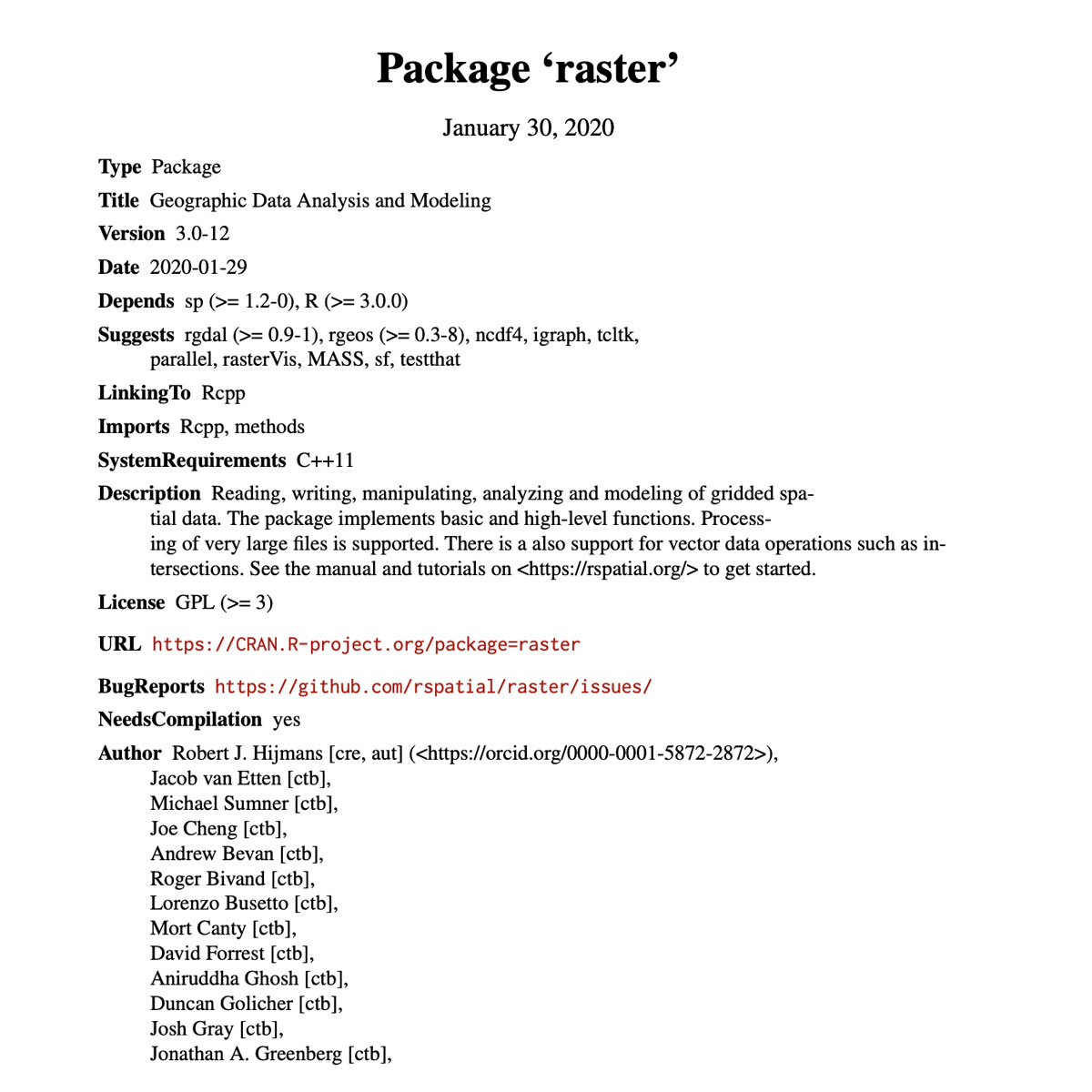
This is another key library in R that goes hand in had with BIOMOD that allows to handle large raster datasets. The raster package provides classes and functions to manipulate geographic (spatial) data in ’raster’ format. Raster data divides space into cells (rectangles; pixels) of equal size (in units of the coordinate reference system). Such ...
Last Update: 2020
Data analysis
Login to add the tool into your favorites.
This is another key library in R that goes hand in had with BIOMOD that allows to handle large raster datasets. The raster package provides classes and functions to manipulate geographic (spatial) data in ’raster’ format. Raster data divides space into cells (rectangles; pixels) of equal size (in units of the coordinate reference system). Such continuous spatial data are also referred to as ’grid’ data, and be contrasted with discrete (object based) spatial data (points, lines, polygons). The package should be particularly useful when using very large datasets that can not be loaded into the computer’s memory. Functions will work correctly, because they process large files in chunks, i.e., they read, compute, and write blocks of data, without loading all values into memory at once.
| Contact person: | Robert J. Hijmans |
|---|---|
| Contact e-mail: | r.hijmans@gmail.com |
| Contact Organization: | University of California Davis |
| License: | GPL (≥ 3) |
| Technical Status: | Finish and with constant technical support |
| URL(s): |
https://CRAN.R-project.org/package=raster
https://cran.r-project.org/web/packages/raster/raster.pdf https://cran.r-project.org/web/packages/raster/vignettes/Raster.pdf |
Login to add a review for the tool R Package 'raster': Geographic Data Analysis and Modeling
TOOLS YOU MAY ALSO LIKE


