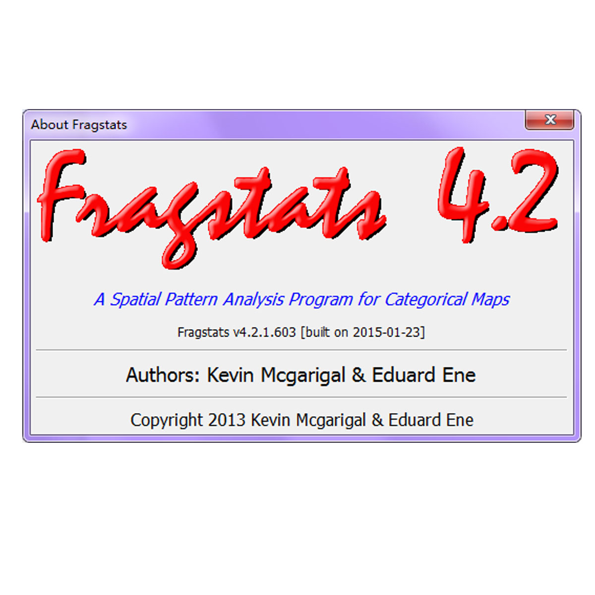
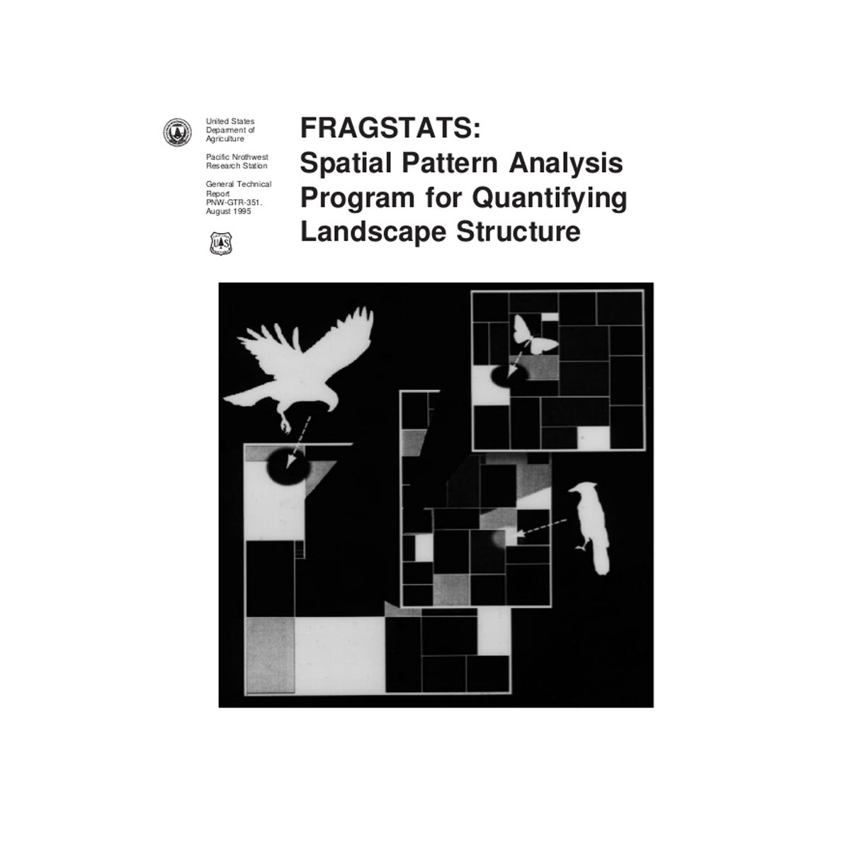
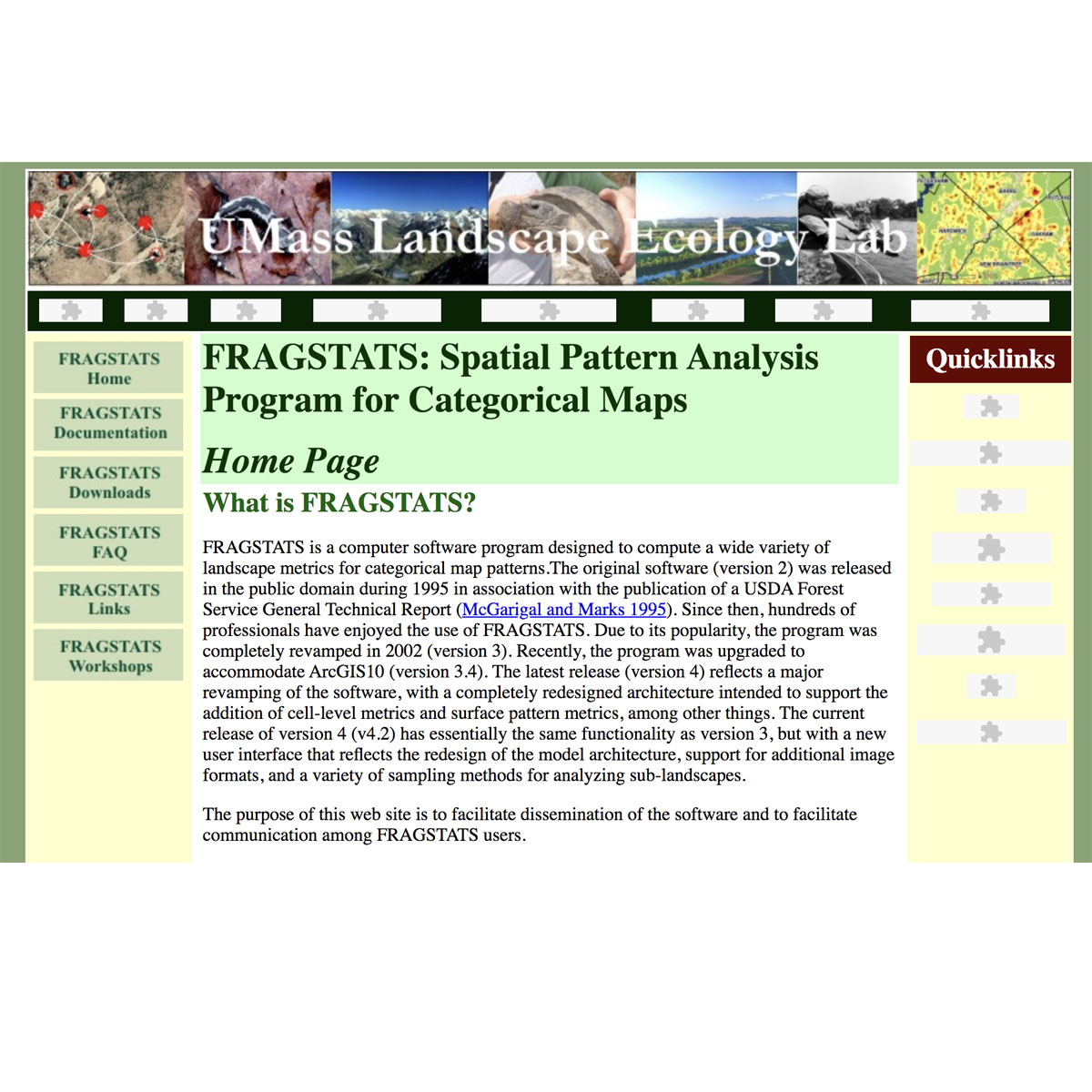
FRAGSTATS is a spatial pattern analysis program for quantifying the structure (i.e., composition and configuration) of landscapes. The landscape subject to analysis is user-defined and can represent any spatial phenomenon. FRAGSTATS simply quantifies the spatial heterogeneity of the landscape as represented in either a categorical map (i.e., landsc ...
Last Update: 2015
Data analysis Ecosystem structure Terrestrial
Login to add the tool into your favorites.
FRAGSTATS is a spatial pattern analysis program for quantifying the structure (i.e., composition and configuration) of landscapes. The landscape subject to analysis is user-defined and can represent any spatial phenomenon. FRAGSTATS simply quantifies the spatial heterogeneity of the landscape as represented in either a categorical map (i.e., landscape mosaic) or continuous surface (i.e., landscape gradient, expected in version 4.4); it is incumbent upon the user to establish a sound basis for defining and scaling the landscape in terms of thematic content and resolution and spatial grain and grain.
| Contact person: | Kevin McGarigal |
|---|---|
| Contact e-mail: | mcgarigalk@eco.umass.edu |
| Contact Organization: | Landscape Ecology Lab, University of Massachusetts |
| URL(s): | http://www.umass.edu/landeco/research/fragstats/fragstats.html |
Login to add a review for the tool Fragstats 4.2
TOOLS YOU MAY ALSO LIKE


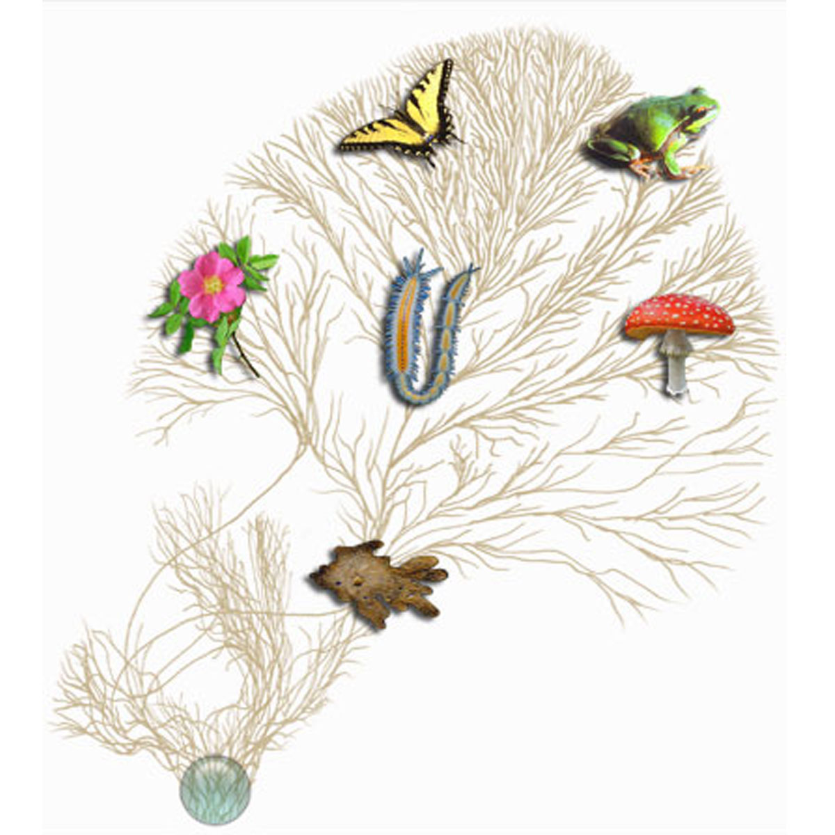 © 2007 Tree of Life Web Project. Image of rose © 1999 Nick Kurzenko. Image of annelid worm © 2001 Greg W. Rouse