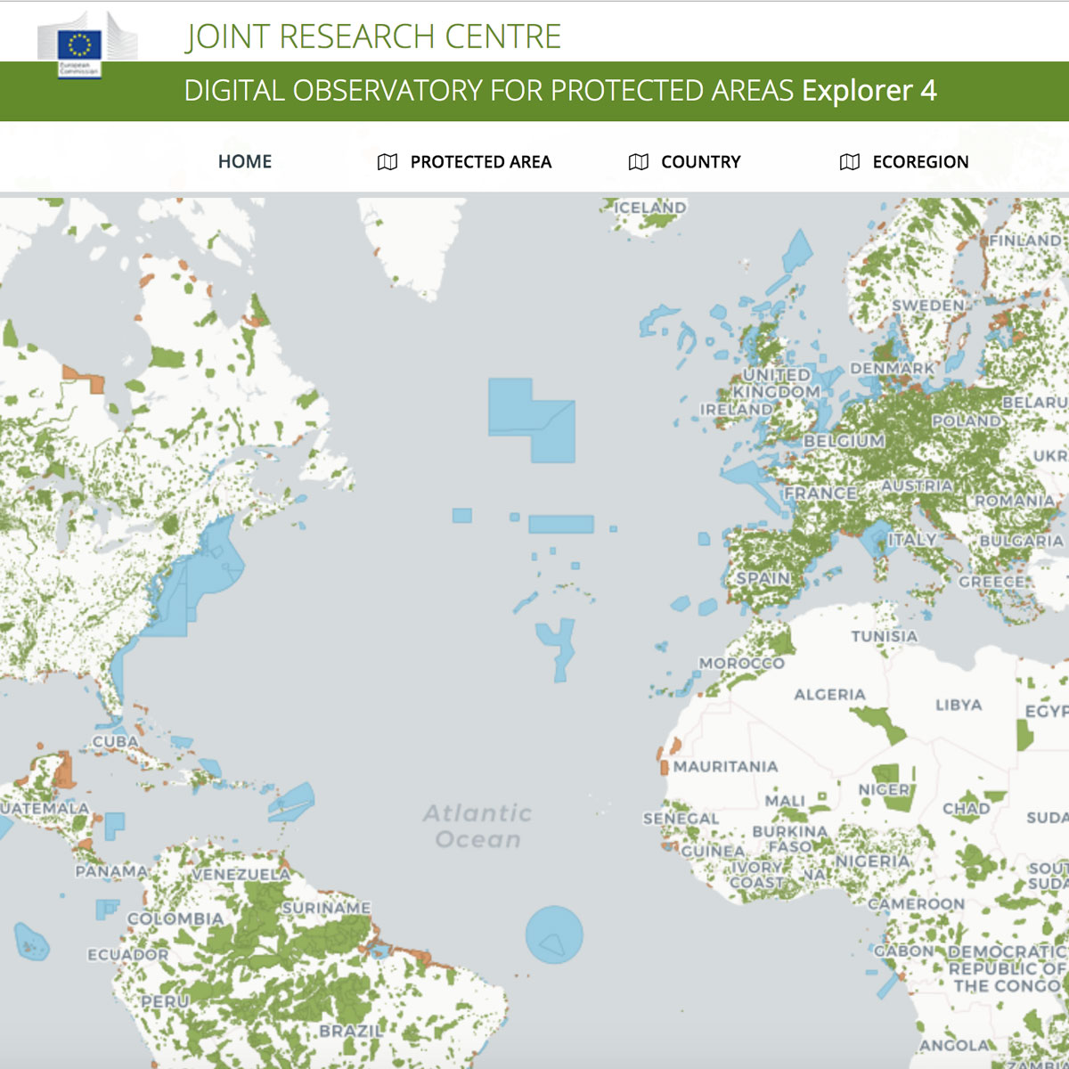

The Digital Observatory for Protected Areas (DOPA) is a set of web services and applications that can be used primarily to assess, monitor, report and possibly forecast the state of and the pressure on protected areas at multiple scales. The data, indicators, maps and tools provided by the DOPA are relevant to a number of end-users including policy ...
Last Update: 2019
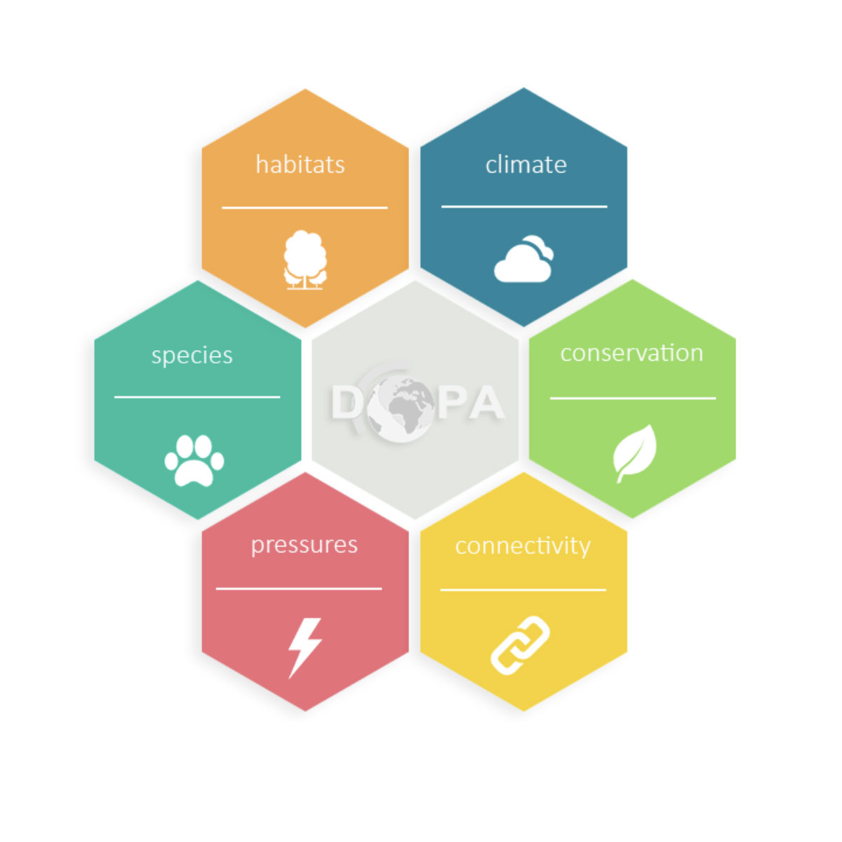
Data analysis Species populations Ecosystem structure Terrestrial Marine
Login to add the tool into your favorites.
The Digital Observatory for Protected Areas (DOPA) is a set of web services and applications that can be used primarily to assess, monitor, report and possibly forecast the state of and the pressure on protected areas at multiple scales. The data, indicators, maps and tools provided by the DOPA are relevant to a number of end-users including policy makers, funding agencies, protected area agencies and managers, researchers and the Convention on Biological Diversity (CBD). The information can be used , for example, to support spatial planning, resource allocation, protected area development and management, and national and international reporting. Using global reference datasets, the DOPA supports global assessments but also provides a broad range of consistent and comparable indicators at country, ecoregion and protected area level.
| Contact person: | Grégoire Dubois |
|---|---|
| Contact e-mail: | gregoire.dubois@jrc.ec.europa.eu |
| Contact Organization: | Joint Research Centre (JRC) |
| URL(s): |
https://dopa-explorer.jrc.ec.europa.eu
https://dopa.jrc.ec.europa.eu/en/factsheet-dopa-4 https://data.jrc.ec.europa.eu/dataset/jrc-dopa-maps-and-datasets |
Login to add a review for the tool DOPA (Digital Observatory for Protected Areas)
TOOLS YOU MAY ALSO LIKE