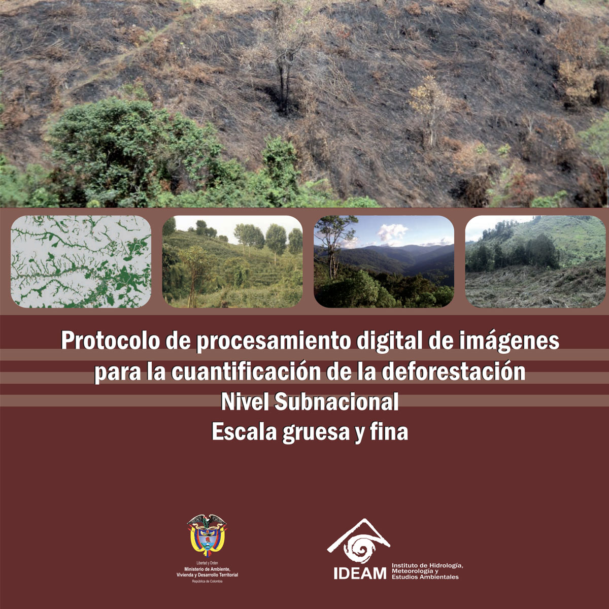
This document presents the minimum methodological guidelines necessary to generate information on the quantification of deforestation at the sub-national level from the digital image processing of remote optical sensors with low and medium spatial resolution. Likewise, it integrates the use of highly automated processes and traditional PDI techniqu ...
Last Update: 2011
Data collection Ecosystem structure Terrestrial
Login to add the tool into your favorites.
This document presents the minimum methodological guidelines necessary to generate information on the quantification of deforestation at the sub-national level from the digital image processing of remote optical sensors with low and medium spatial resolution. Likewise, it integrates the use of highly automated processes and traditional PDI techniques for the generation of information on deforestation that is the result of a process of reviewing international and national methodologies, as well as a series of methodological tests that allowed establishing the options more convenient techniques to advance the development of a forest cover monitoring system in Colombia. The protocol has been applied in exercises to quantify historical deforestation at the national level for various study periods, which has allowed it to be validated and adjusted against the inconveniences that may arise in its application, however it should be noted that this type of document They must be under continuous review and update.
| Contact person: | Edersson Cabrera Montenegro |
|---|---|
| Contact e-mail: | edersson.cabrera@gmail.com |
| Contact Organization: | Instituto de Hidrología, Meteorología y Estudios Ambientales (IDEAM) |
| License: | Free Access |
| Technical Status: | Finish and with constant technical support |
| URL(s): | http://institucional.ideam.gov.co/jsp/deforestacion_1901 |
Login to add a review for the tool Protocol of Digital Image Processing of remote sensors for the quantification of deforestation. Sub-National Level
TOOLS YOU MAY ALSO LIKE