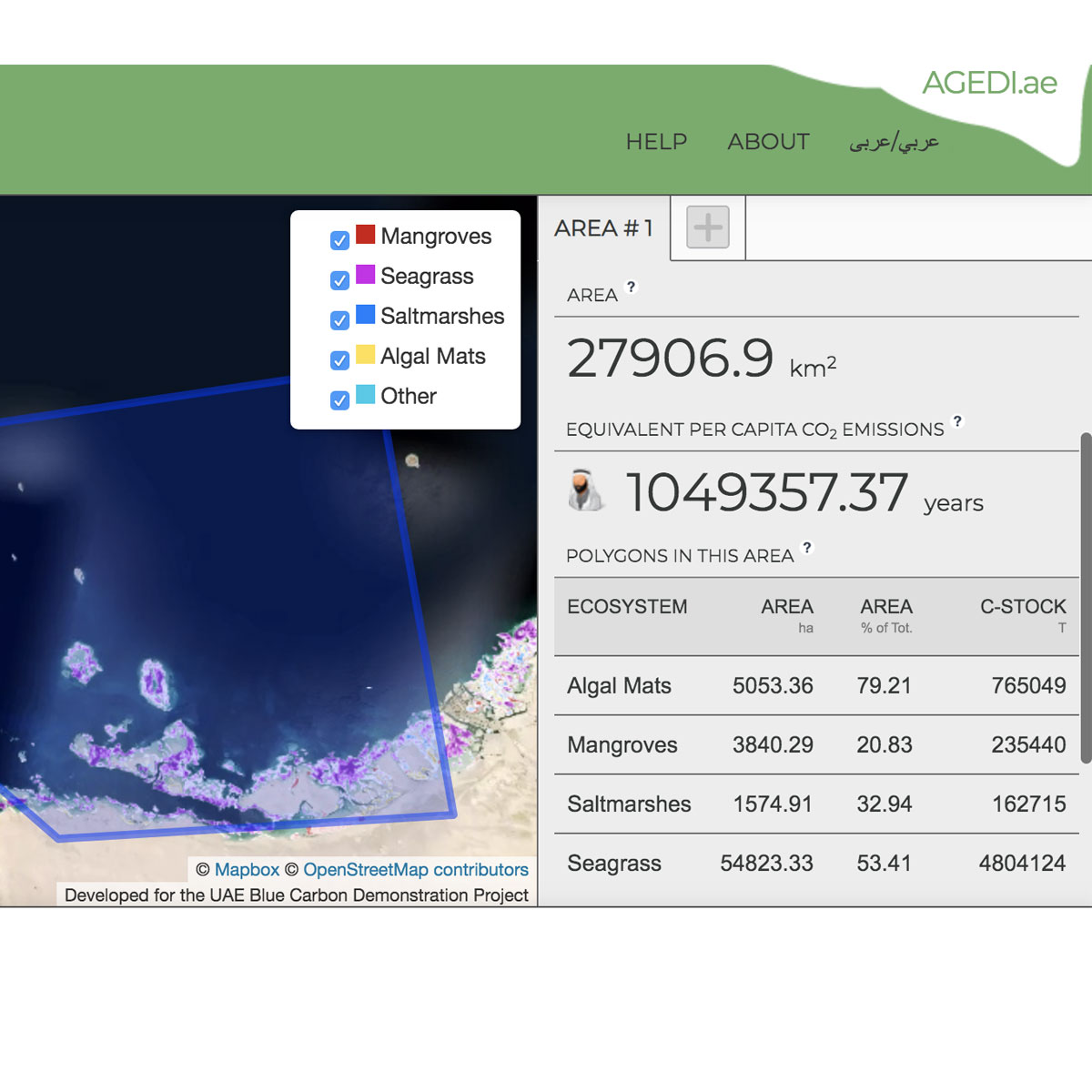
The Blue Carbon Toolkit integrates both online and offline (tablet-based) technology for assessing and validating coastal ‘blue carbon’ habitats (mangroves, saltmarsh, seagrass etc). The tool allows habitat validations to be completed in the field using an offline, tablet-based validation tool and provides a user friendly interface to capture r ...
Last Update: 2013
Data analysis Ecosystem structure Marine
Login to add the tool into your favorites.
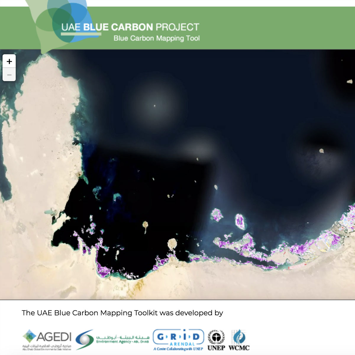
The Blue Carbon Toolkit integrates both online and offline (tablet-based) technology for assessing and validating coastal ‘blue carbon’ habitats (mangroves, saltmarsh, seagrass etc). The tool allows habitat validations to be completed in the field using an offline, tablet-based validation tool and provides a user friendly interface to capture relevant metadata. When there is an internet connection, the modified habitat data is updated ensuring that the latest information is displayed at all times. The online assessment tool allows users to create “areas of interest” on satellite maps and receive information on the habitat extent and associated carbon stored in the vegetation and soil. The online validation tool is the administrative, back end of the Toolkit which allows project managers to accept, modify or reject changes.
| Contact person: | Chris Mcowen |
|---|---|
| Contact e-mail: | marine@unep-wcmc.org |
| Contact Organization: | UNEP-WCMC |
| URL(s): | http://bluecarbon.unep-wcmc.org/en/layout |
Login to add a review for the tool The UAE Blue Carbon Mapping Toolkit
TOOLS YOU MAY ALSO LIKE
