 © Clark Labs, Clark University
 © Clark Labs, Clark University
 © Clark Labs, Clark University
 © Clark Labs, Clark University
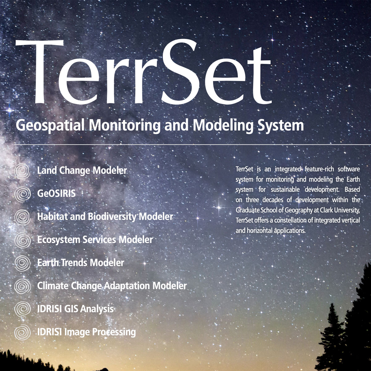
TerrSet is an integrated geospatial software system for monitoring and modeling the earth system for sustainable development. The TerrSet system incorporates the IDRISI GIS Analysis and IDRISI Image Processing tools along with a constellation of vertical applications. TerrSet offers the most extensive set of geospatial tools in the industry in a si ...
Last Update: 2020
Data analysis Ecosystem function Ecosystem structure Terrestrial
Login to add the tool into your favorites.
TerrSet is an integrated geospatial software system for monitoring and modeling the earth system for sustainable development. The TerrSet system incorporates the IDRISI GIS Analysis and IDRISI Image Processing tools along with a constellation of vertical applications. TerrSet offers the most extensive set of geospatial tools in the industry in a single, affordable package. There is no need to buy costly add-ons to extend your research capabilities.
| Contact person: | Clark Labs, Clark University |
|---|---|
| Contact e-mail: | clarklabs@clarku.edu |
| Contact Organization: | Clark Labs, Clark University |
| URL(s): |
https://clarklabs.org
https://clarklabs.org/wp-content/uploads/2016/03/TerrSet18-2_Brochure_WEB.pdf |
Login to add a review for the tool TerrSet Geospatial Monitoring and Modeling System