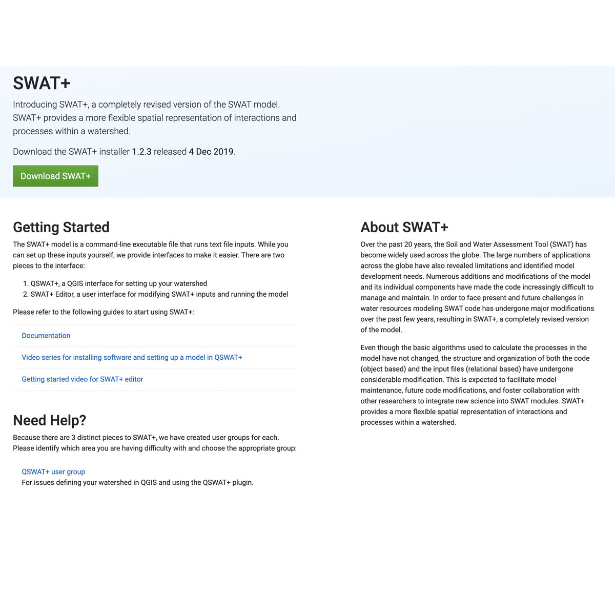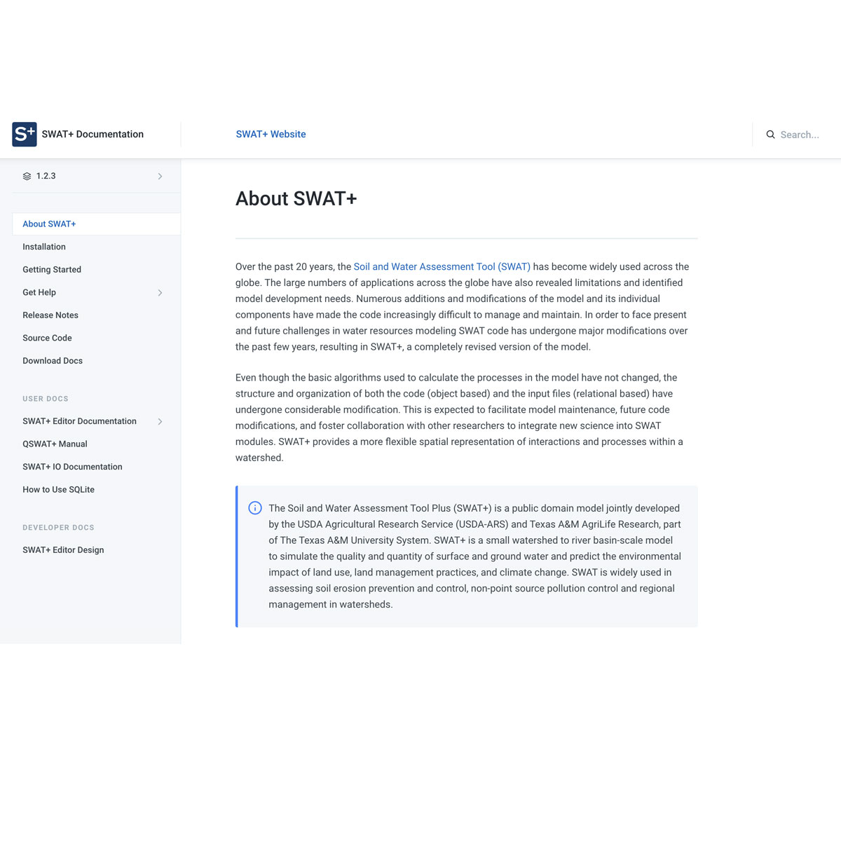


SWAT+ is a completely revised version of the SWAT model. SWAT+ provides a more flexible spatial representation of interactions and processes within a watershed. The Soil and Water Assessment Tool (SWAT) is a public domain model. SWAT is a small watershed to river basin-scale model to simulate the quality and quantity of surface and ground water and ...
DOI: 10.3390/w12030696
DOI: 10.1016/j.scitotenv.2020.137562
DOI: 10.3390/w12020400
Last Update: 2020
Data analysis Ecosystem function Ecosystem services
Login to add the tool into your favorites.
SWAT+ is a completely revised version of the SWAT model. SWAT+ provides a more flexible spatial representation of interactions and processes within a watershed. The Soil and Water Assessment Tool (SWAT) is a public domain model. SWAT is a small watershed to river basin-scale model to simulate the quality and quantity of surface and ground water and predict the environmental impact of land use, land management practices, and climate change. SWAT is widely used in assessing soil erosion prevention and control, non-point source pollution control and regional management in watersheds. MODULES: Nonlinear groundwater, frozen soil, snow accumulation and snowmelt, weather generation, hydrology, sediment, chemical, canal irrigation, crop growth, bacteria, nitrogen (and other nutrients and pesticides) cycling and transformation, multi‐objective calibration and autocalibration.
| Contact person: | Jeff Arnold |
|---|---|
| Contact e-mail: | jeff.arnold@ars.usda.gov |
| Contact Organization: | USDA Agricultural Research Service (USDA-ARS) |
| License: | Public Domain |
| Technical Status: | Finish and with constant technical support |
| URL(s): |
https://swat.tamu.edu
https://swatplus.gitbook.io/docs https://bitbucket.org/blacklandgrasslandmodels/modular_swatplus/src/master/ |
Login to add a review for the tool Soil and Water Assessment Tool (SWAT+)