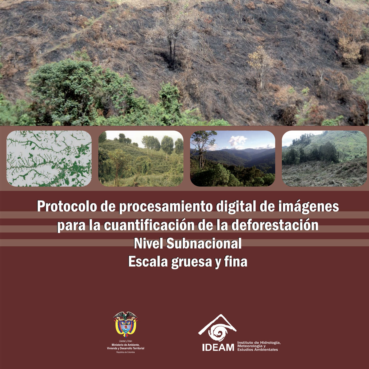
The protocol developed in this document seeks to adapt to the characteristics of the Andean ecosystems, which present particular challenges for land use and coverage change monitoring. The using landscapes in the Andes are complex, due to factors such as the access fractionation to land, high heterogeneity and biophysical conditions variability in ...
Last Update: 2014
Data analysis Data collection Data management Ecosystem structure Terrestrial
Login to add the tool into your favorites.
The protocol developed in this document seeks to adapt to the characteristics of the Andean ecosystems, which present particular challenges for land use and coverage change monitoring. The using landscapes in the Andes are complex, due to factors such as the access fractionation to land, high heterogeneity and biophysical conditions variability in short distances, rugged topography, among others. In this context, it was sought to develop a protocol that allows comparability between sites, which has reasonable technical and economic requirements, and that generates land use and coverage change information relevant to environmental governance. The protocol is oriented to the site scale, defined as a landscape with extensions between 100 and 1,000 km2, although it can be applied in larger areas with minimal methodological adjustments. The main result generated by the protocol is a time series of land cover and use maps, using a common theme legend that may correspond to a historical baseline or be part of a land use and coverage change continuous monitoring process.
| Contact person: | Manuel Peralvo |
|---|---|
| Contact e-mail: | manuel.peralvo@condesan.org |
| Contact Organization: | CONDESAN |
| License: | Free Access |
| Technical Status: | Finish and with constant technical support |
| URL(s): | http://condesan-ecoandes.org/download/2368/ |
Login to add a review for the tool Change of Coverage Change and land use at site scale. Protocol 3 - Version 1